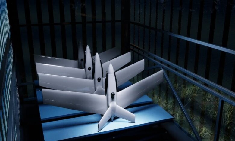
Air monitoring systems for government activities

Use of an air monitoring system for state needs
Integration of a statewide airborne surveillance system as an effective solution to multiple challenges.
The potential of the Menatir unmanned aerial vehicle (UAV) system is effectively unlocked in a variety of applications. However, today we will talk about aerial monitoring specifically from an urban and government perspective.
Using the Menatir system on a city and national scale
If you look at the work of an air monitoring system through the prism of a city or even an entire country, you can find many industries to apply it to improve the efficiency of the sphere as a whole.
The Menatir system can do:
- property surveying;
- cadastral survey;
- energy efficiency audits;
- traffic monitoring;
- road and rail infrastructure quality analysis;
- identification of water levels in rivers;
- determining air quality, etc.
Let’s take a closer look at each area where drone monitoring can be rationally applied.
City, regional, and country administrations
In order to capture video and images 24/7 regardless of geo-position and weather conditions, a network of Menatir drone stations can be integrated into a city, region, or even the entire country. This solution will allow for real-time mobile monitoring.
Emergency Services
The Menatir system seems to have the highest potential use and relevance for emergency services and rescue units. Drones can:
- search for affected people in nearby and remote areas;
- survey natural disaster areas;
- quickly provide data on man-made disasters;
- detect landscape and municipal fires, etc.
Payloads and special equipment installed on UAVs can quickly and accurately detect fire, smoke, and other fire precursor factors.

Environmental inspections
It is important to note that the Menatir system is equipped in such a way that it can not only detect the level of air pollution but also identify its sources. Drones can detect a number of pollutants, such as:
- CO;
- CO2;
- O3;
- NO;
- NO2;
- SO2;
- NH3;
- CH4;
- H2S.
In addition, drones provide accurate estimates of humidity, air temperature, and atmospheric pressure.
Environmental services, which have the need to monitor wildlife, can use the capabilities of the Menatir system to monitor the migration of wild animals, track poachers, etc.
- Novel Technique Forecasting Volcanic Eruptions Magma Foams
- Xiaomi Announces Loop Liquid Cool Technology
- How to Hire a CTO (Chief Technology Officer)
Law enforcement agencies
An unmanned monitoring system can also be integrated into the work of law enforcement agencies. Since drones provide high-precision imagery 24/7, the work of law enforcement agencies representatives in search and pursuit of objects and subjects, control of situations on the roads, monitoring of mass events, and escorting rescue operations can be greatly simplified and optimized. The automation of the Menatir system makes it possible to transmit information extremely quickly.
The introduction of an aerial monitoring system with UAVs is a practical activity for the whole state in the long run!
What are the two different types of air monitoring?
The two main types of monitoring are ambient and emissions.
What is the purpose of an air monitoring program?
In order to save the data, analyse potential pollutant trends, and determine whether the amounts of these pollutants go above the required limits, NHDES provides air monitoring data to EPA.
How is air monitoring done?
Some measure the amount of particle matter in a cubic metre of air using lasers, while others measure the amount of energy the Earth reflects or emits using satellite imagery. PM2, PM10, ground-level ozone, nitrogen dioxide, and sulphur dioxide are among the pollutants linked to adverse effects on human and environmental health.
Which sensors are used in air quality monitoring system?
The air quality in your immediate area is measured by an Airly sensor. The best source for hyperlocal, real-time air pollution measurements is one that is precise, accredited, and verified in a variety of environmental situations.
Also read: What to check when renting surveying equipment?
What is the difference between air sampling and air monitoring?
A simple comparison would be that air sampling is like taking a picture, while air monitoring is more like capturing a video. A brief glimpse as opposed to a more thorough analysis of the situation


